Golf courses
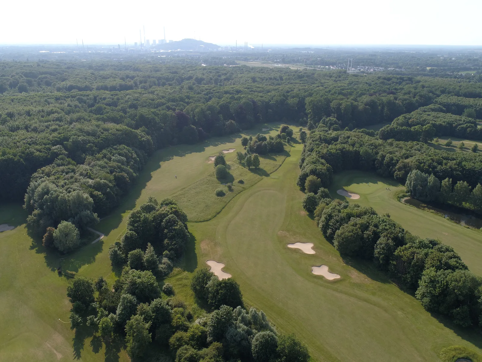
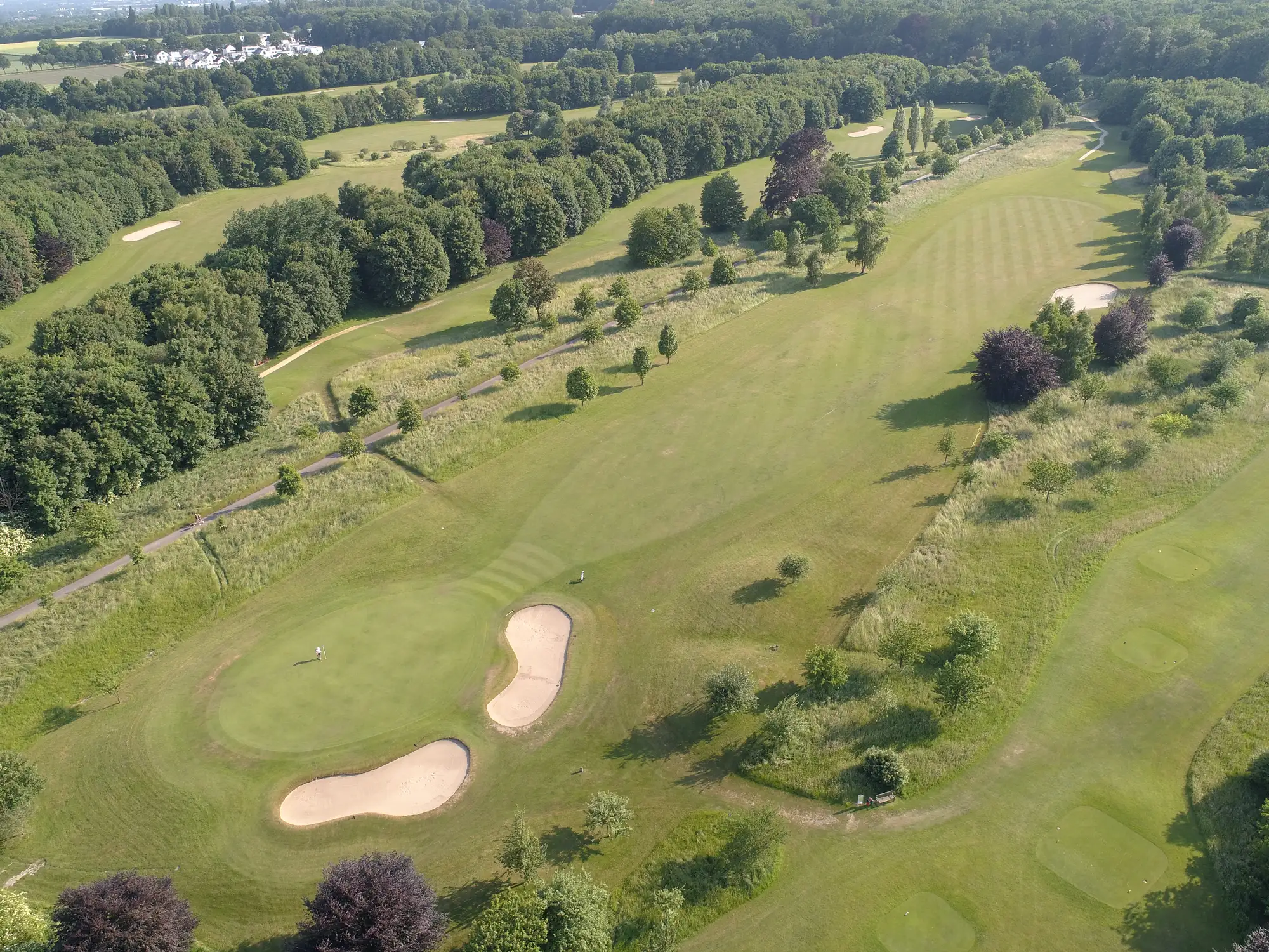
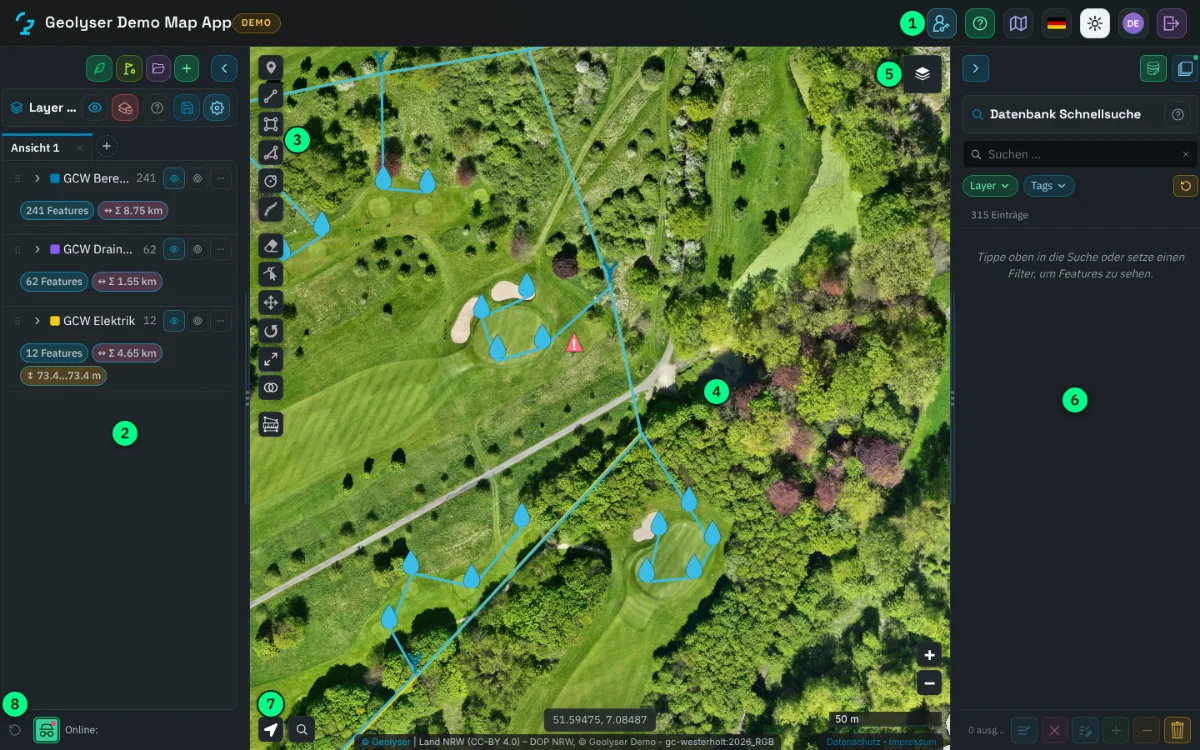
3D mapping of the whole course, a digital course map in the MapApp, a register of irrigation and pipes. Starting at €4,000.
Learn more
We fly golf courses, construction sites and buildings, process the data and deliver it in our own map app. At fixed prices, ready for your team to work with.
We capture from the air, turn the images into reliable data and deliver it so your team can use it in the office and in the field.
3D mapping of the whole course, a digital course map in the MapApp, a register of irrigation and pipes. Starting at €4,000.
Learn more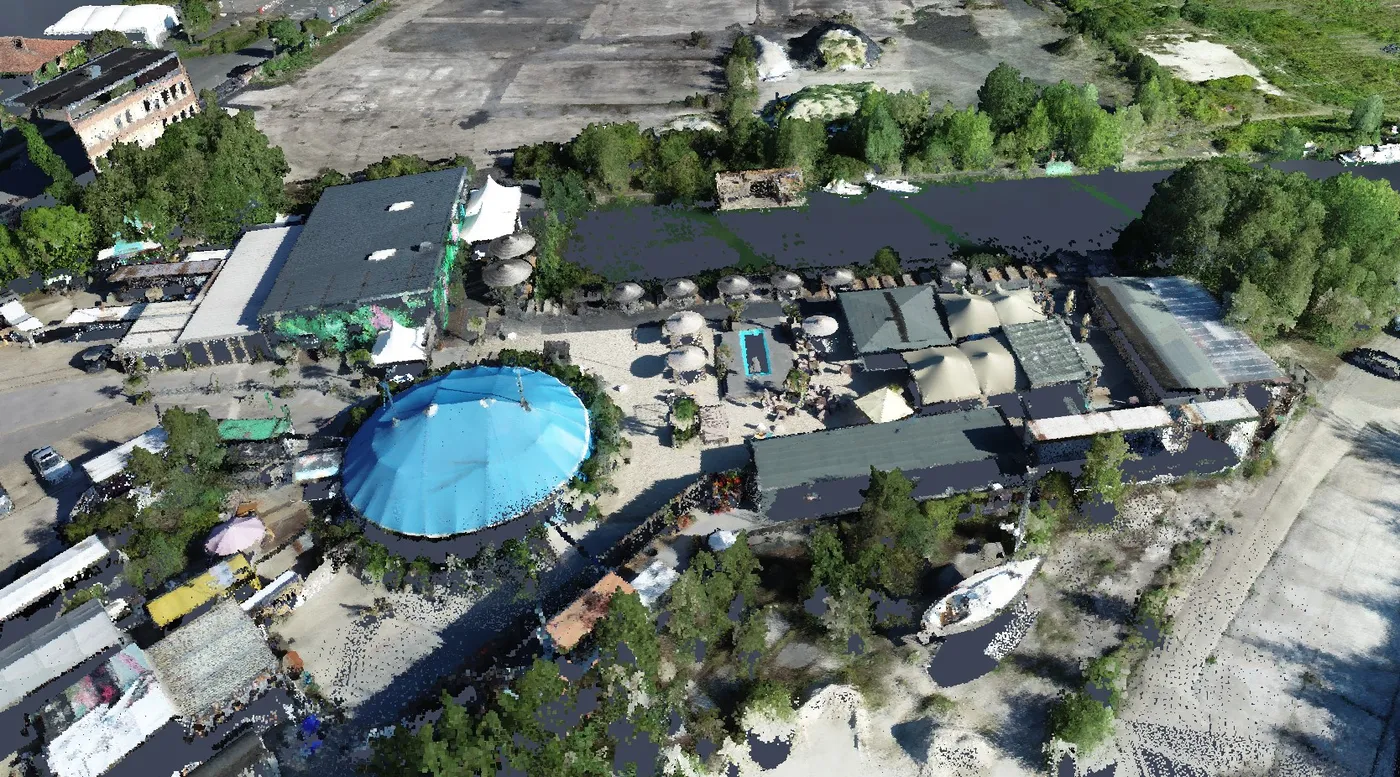
Stockpiles, excavations and landfills measured, quantities documented, progress recorded. Fixed prices from €690.
Learn more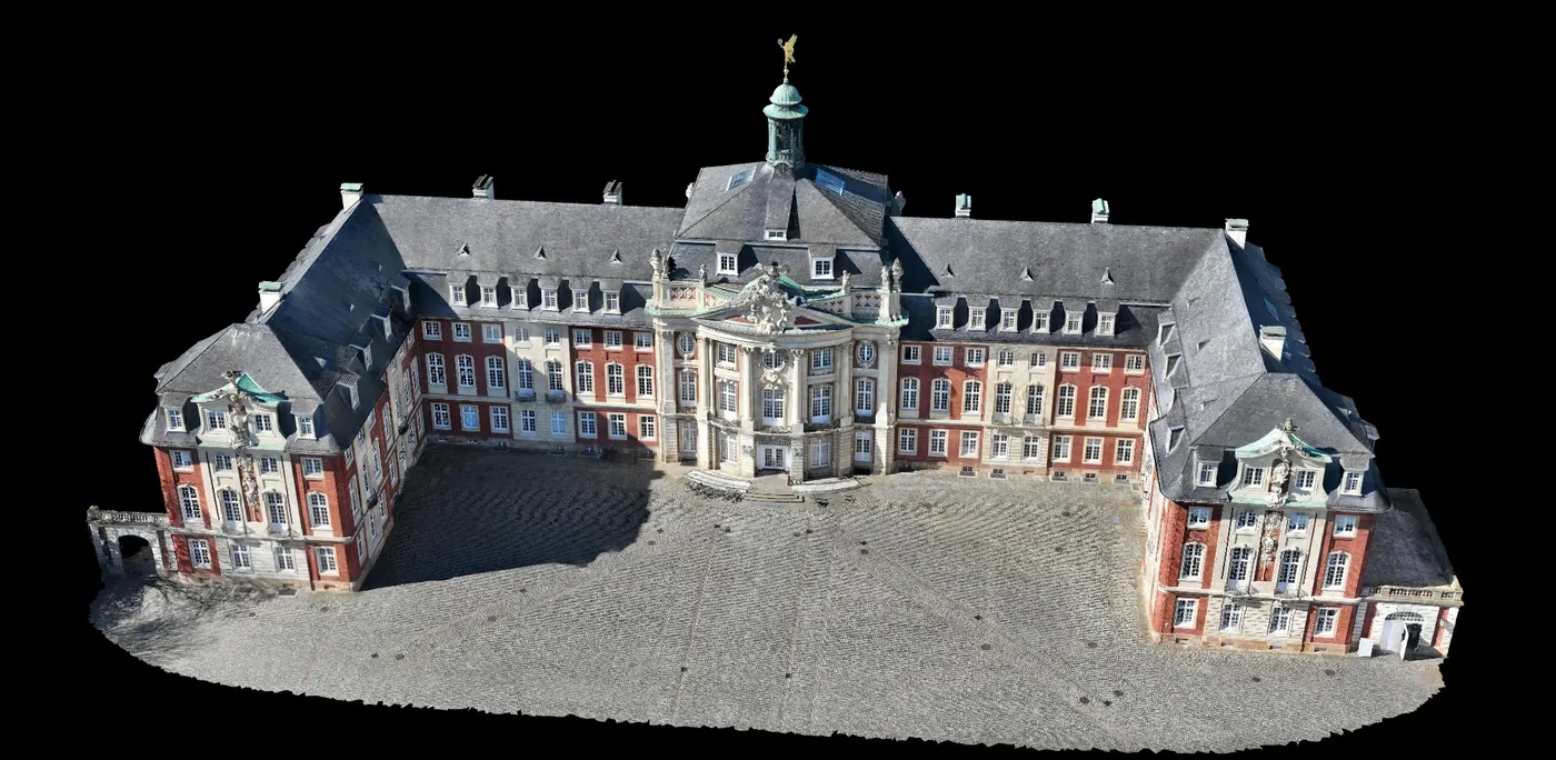
High-resolution 3D models of buildings, monuments and sites, including 14 UNESCO World Heritage sites. From €1,600.
Learn moreThe MapApp turns every flight into a map you can measure, draw and document in. In the browser, on a tablet in the field, and offline.
Geolyser grew out of the University of Münster. We have been flying cameras and sensors since 2012, long before off-the-shelf drones, and we build our own analysis pipelines, software and sensors.
You tell us location, area and goal. You receive a fixed-price quote.
We handle permits and fly, usually within one day and without interrupting your operations.
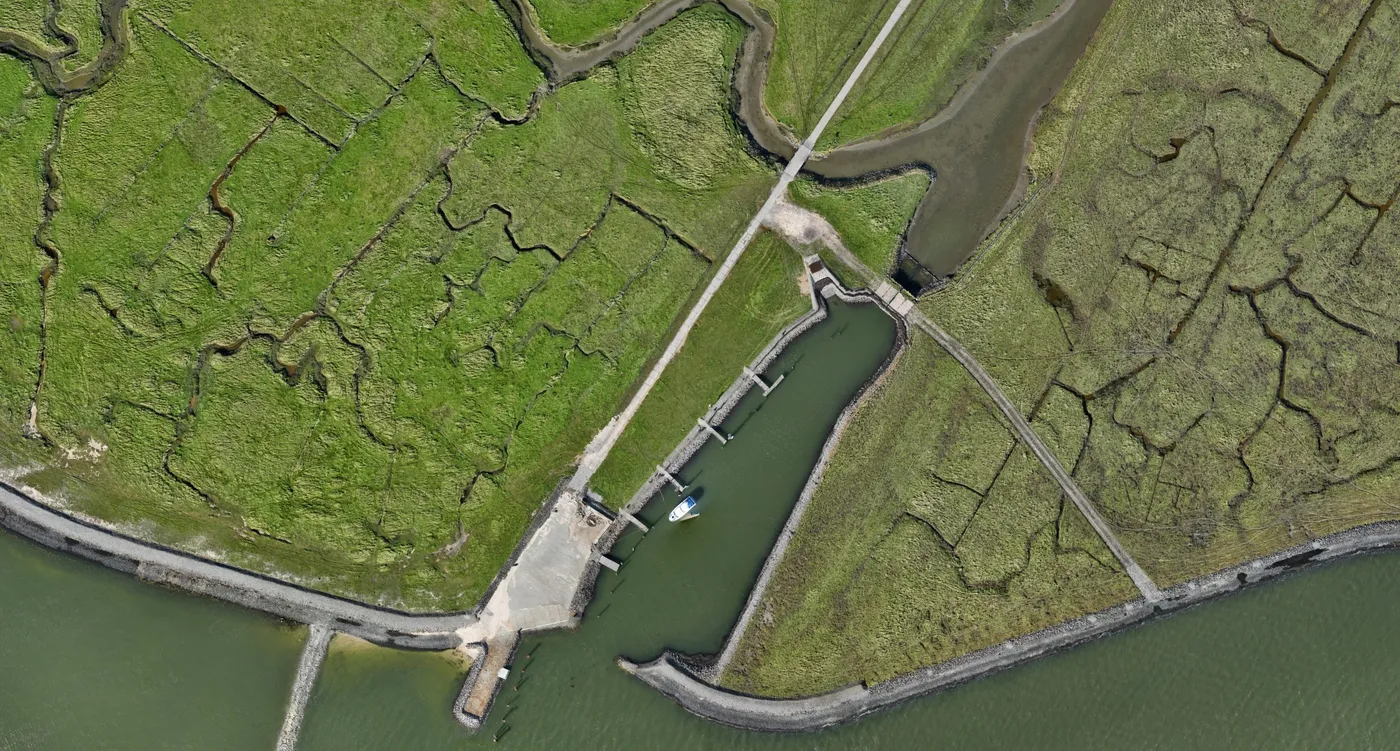
Orthophoto, elevation model, 3D model and the agreed measurements are produced in proven pipelines.
You get access to the MapApp, a report and all data as a download.











Tell us what you are planning, or book a short call right away.