Start
€4,000 one-off
Complete 3D mapping of your course.
- Flight over the entire course
- Orthophoto, elevation models, 3D model
- Hole measurement to DGV rules
- MapApp set up for your team
- MapApp included for 12 months

We fly your course by drone and deliver an orthophoto, elevation model and 3D model. In the MapApp, greenkeeping and management measure, plan and document on the same basis.
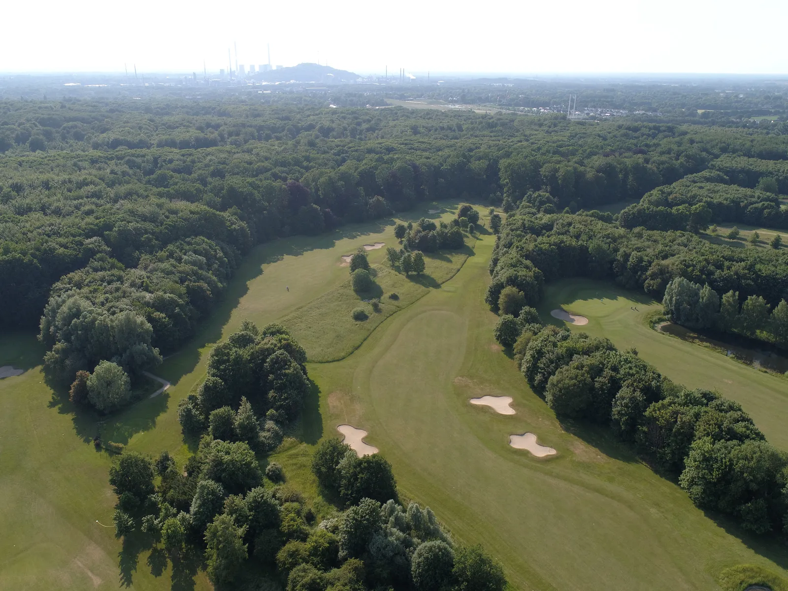
Old maps rarely match the course. After the flight your whole facility is captured and up to date, and everyone on the team works with the same data.
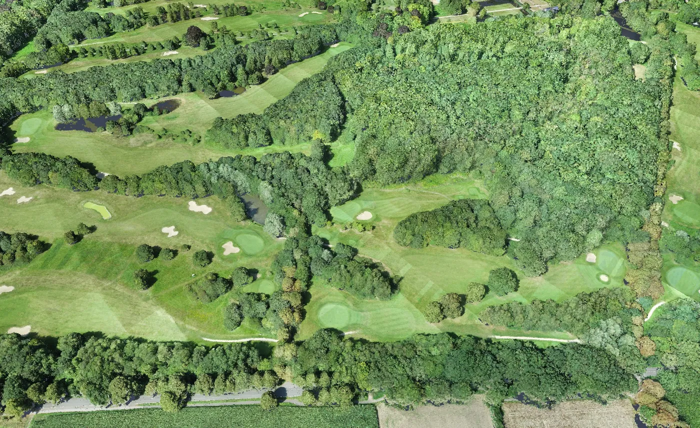
The start package contains everything you need for the digital course map. After that you decide each year whether to have the course flown again or simply keep using the app.
€4,000 one-off
Complete 3D mapping of your course.
€2,000 per year
A new flight and comparison with the previous year.
€1,000 per year
You keep working with the existing data.
| Service | Scope | Price |
|---|---|---|
| Area classification | Greens, collars, tees, fairways, bunkers and water as measured areas, as a layer in the app and as a shapefile9 holes €500, 27 holes €1,300 | €90018 holes |
| Irrigation register | We survey sprinklers, valve boxes and pipes on site | €950per day |
| RTK kit | Our GNSS receiver for surveying points yourself, standalone or on a tablet, straight into the MapApp | €590 |
| Vegetation analysis | Multispectral flight, NDVI and stress maps for greens and fairways | €1,500 |
| LiDAR | Terrain model even under vegetation, the basis for drainage and redesign | €2,000 |
| Data pack for graphics and print | Exports and rendered graphics for yardage books, tee signs and your website, ready for your agency or printer | €500 |
All prices are net, plus VAT. Prices for courses up to 100 ha. Travel up to 350 km from Marl, Germany, included.
Want to reliably find sprinklers, valve boxes and pipes first? With the RTK kit your greenkeepers survey the points themselves, and they appear directly in the MapApp on the official aerial image.
The app shows its full value with drone data: only with your own orthophoto and elevation model can you measure heights, slopes and volumes.
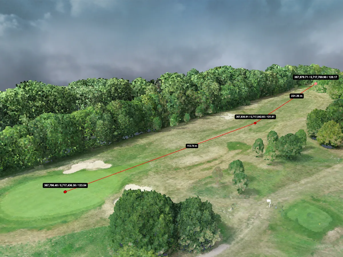
Lengths and areas to the rules of the German Golf Association, measured on the georeferenced model. The tool is also available to you in the app.
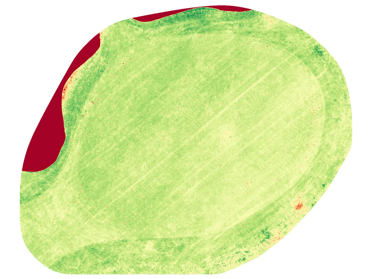
Spot stress, drought and damage early, locate measures and document them year on year.
Elevation profiles, slopes and earthwork quantities from the terrain model. Planning and billing on one data basis.
We have flown Golfclub Schloss Westerholt every year since 2018, plus six additional flights for individual projects. The greenkeeping team uses the MapApp as its digital course map and irrigation register. Our sensors in the greens measure soil temperature and moisture.
No. The drone flies high above the holes and the capture runs during normal play.
The flight usually takes one day. Processing then runs automatically, and you receive access to the MapApp a few days later.
No. The MapApp runs in the browser on PC, tablet and smartphone and can be installed like an app. It works offline in the field and syncs later.
The data is yours. Every club gets its own separate instance on servers in Germany. Everything is also available as a download.
Yes. The MapApp does not replace maintenance planning, it provides the accurate map for it. Areas and objects can be exported as shapefile or GeoJSON.
We show you in 15 minutes using a real course and give you the price for yours.