Volume S
€690 per job
One stockpile or excavation up to 1 ha.
- Volume against a flat or sloped reference surface
- PDF report with site plan
- Orthophoto of the measured area

We survey stockpiles, excavations, landfills and entire sites from the air. You receive volumes, an elevation model and an orthophoto as a report and in the online portal, reliable for stocktaking and billing.
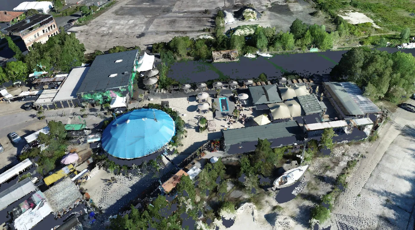
Every package covers flight planning, the flight, processing and the volume report. You know the cost before you order.
€690 per job
One stockpile or excavation up to 1 ha.
€1,290 per job
Yard or construction site up to 5 ha.
€2,400 per job
Large site, quarry or landfill up to 20 ha.
| Service | Scope | Price |
|---|---|---|
| Stocktake subscription | Four flights a year on fixed dates, all states comparable in the portal | 15% discount |
| Construction progress | Regular flights with orthophoto and elevation model per visit, as a subscription | €590per visit |
| As-built survey for planners | Orthophoto, terrain model and contour lines as a planning basis, export for CAD and GIS | from €1,290 |
| LiDAR surcharge | Laser scan for terrain under vegetation | €1,200 |
All prices are net, plus VAT. Travel from Marl, Germany: included up to 350 km for orders from €1,500, otherwise up to 150 km. Larger areas and longer distances are quoted individually.
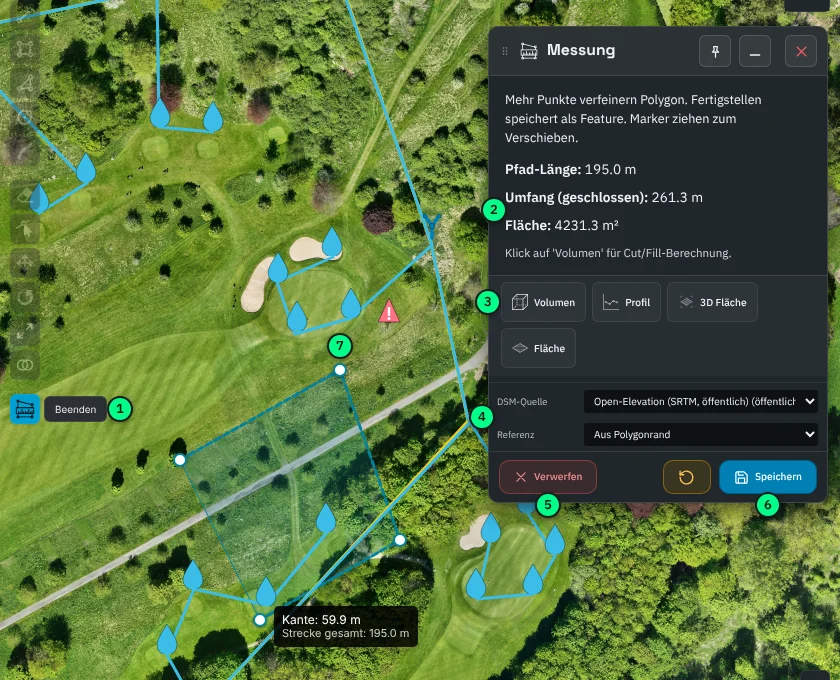
The PDF report documents the quantities. In the portal, our MapApp, you can measure for yourself: new reference surfaces, partial quantities, elevation profiles, without buying software.
Stock levels on the reporting date, one to four times a year, compared with the previous state.
Excavation, fill and soil heaps as evidence for billing, before and after the work.
Fill level, remaining capacity and settlement from repeated flights.
Planning basis, documentation of each work step and quantities for billing.
A full-coverage terrain model to complement ground surveys, also as a subcontractor.
Construction progress at fixed intervals, traceable for everyone involved.
We supported seven projects for Nolte Services, flying one site three times. For WESSLING we captured a site in Cologne for BASF in 2026. Each included mapping for planning, monitoring during the works and earthwork quantities for billing.
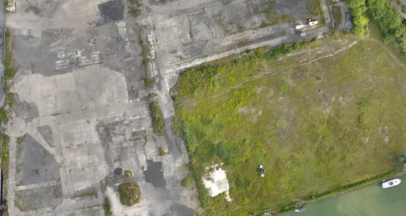
We fly with RTK correction and use surveyed ground control points where needed. Position and height are accurate to the centimetre range. The report states the accuracy achieved.
Usually a few working days after the flight. For simple surveys, capture, processing and delivery are possible on the same day.
No. We fly above ongoing operations and do not walk on stockpiles. We arrange permits and coordination in advance.
The address or a site plan, the approximate area and the purpose of the measurement. You receive a fixed-price quote.
Yes. All results are available for download in common formats and can be used in GIS and CAD.
Tell us the location and area. You receive a fixed-price quote.